Geomorphic Assessment of Trout Streams
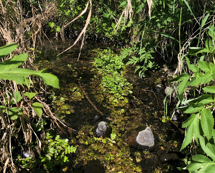
Timeline: Summer 2019-Summer 2022 Actual Cost: $88,486Rivers, streams, and creeks are in a constant balancing act between the energy they produce and the work that must be done to carry the water, sediment and debris produced in their watersheds. A change in any one of these factors will cause adjustments of the other variables until the river system comes back into balance. Changes can be caused by natural events and by human activity, the impacts of which may be seen immediately or for decades after the activity. The Lower Minnesota River Watershed District (LMRWD) is home to several trout streams: Assumption Creek in Carver County; Eagle Creek in Scott County; Ike’s Creek in Hennepin County; and Kennaley's Creek, Harnack Creek, and one or two unnamed creeks in Dakota County.
In 2019, the LMRWD attempted to model stream width-to-depths ratios, stream bed slope, meander patterns and other bed features. Data was used to assess, understand, and evaluate the condition of the trout streams. Young Environmental Consulting Group was then retained by the LMRWD to review data provided by project partners, the Minnesota Department of Natural Resources (DNR) and the US Fish and Wildlife Service, to develop a gap analysis and long-term management plan for the trout streams within the LMRWD. Information collected from a site visit to streams in Eagan (Kennaley's Creek, Harnack Creek/Unnamed 1, Unnamed3, and Unnamed 4) with Minnesota DNR staff was also incorporated into the final report.
The Trout Streams Gaps Analysis and Management Plan Final Report was completed in 2022. The report focuses on managing three trout species— brook trout, brown trout, and rainbow trout. The goal of managing toward, protecting, and restoring the equilibrium condition of trout streams within the LMRWD is to resolve or avoid conflicts between human investments and stream dynamics in a way that is technically sound, and both economically and ecologically sustainable. Information gathered can used for subwatershed planning; riparian corridor protection, management, and restoration projects; aquatic and riparian habitat assessment; and hazard assessments to reduce property loss and damage from riverine erosion during floods.
Project Resources
Trout Streams Gaps Analysis and Management Plan - August 4, 2022 Final Report
Trout Streams Gaps Analysis and Long-Term Management Plan Site Visit - October 2020
Trout Stream Geomorphology Assessment In the Lower Minnesota River Watershed District - October 2019
Geomorphic and Habitat Assessments of Trout Streams in the Lower Minnesota River Watershed District - August 2019
Project Contact
For more information about this project, contact:
Linda Loomis
naiadconsulting@gmail.com
763-545-4659
Project Partners
Minnesota Department of Natural Resources
US Fish & Wildlife Services