Lake ID
Minnesota Department of Natural Resources (MNDNR) site ID 70008700. This link provides available information on lake location, morphometry, and fisheries.
Minnesota Pollution Control Agency (MPCA) site ID 10-0225-00-201. This link provides available information on lake quality.
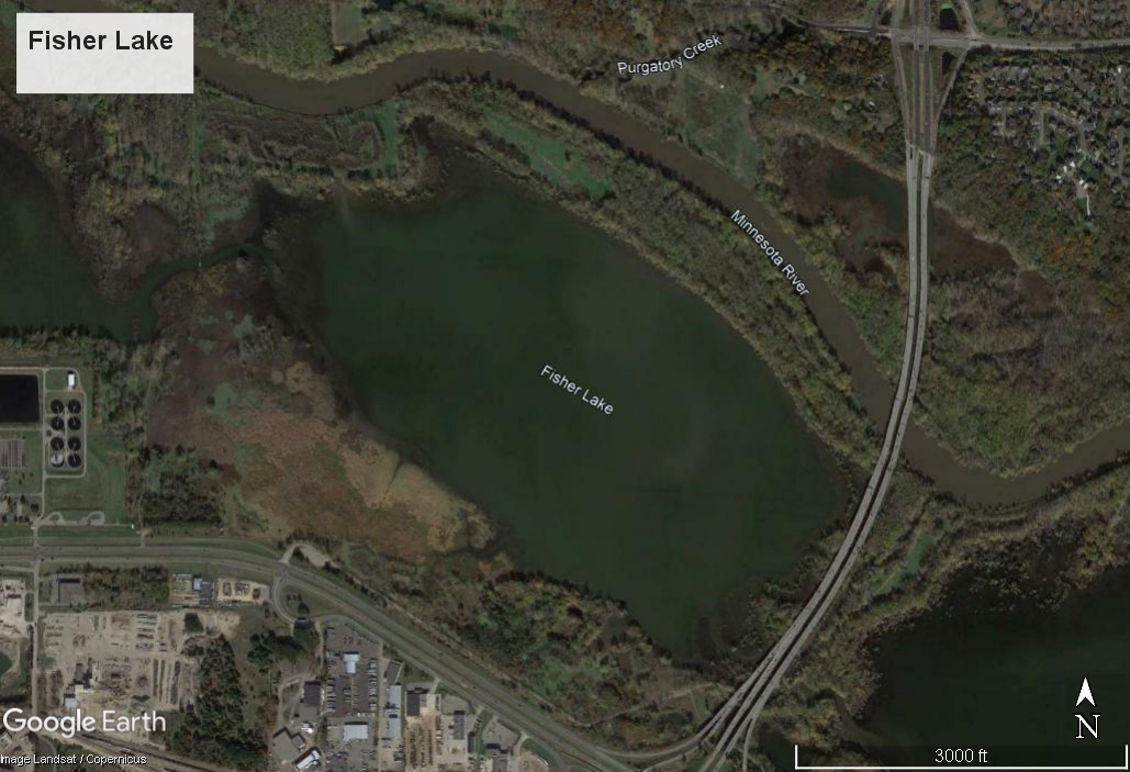
Fisher Lake is a 259-acre (105-hectare), 8-foot-deep (2.4-meter-deep) lake in the city of Shakopee, Minnesota. It is classified as a Class 2B water for warm-water fish and aquatic life. It is part of the Minnesota Valley National Wildlife Refuge and is situated in the floodplain of the Minnesota River. Floodplain lakes, with their complex hydrology and ecosystems, are subject to periodic flooding that introduces water, sediment, and aquatic life.
Fisher Lake was sampled once, on August 31, 2012, for physical characteristics, major ions, plant nutrients, trace metals, and other trace elements as part of a wild rice sulfate project. It is unknown whether Fisher Lake has a harvestable crop of wild rice, but it is possible that this lake was chosen as a nonbearing control for the group of lakes that includes wild rice-bearing lakes. The results of that sampling are available at the MPCA website link provided above.
Water quality monitoring activities for floodplain lakes have been either eliminated or reduced because of the regular intrusion of water from the Minnesota River. Sediment and paleolimnological assessments have been periodically completed to understand the quantity and quality of sediment deposition in some of the floodplain lakes from the Minnesota River. Information about water chemistry was not found for Fisher Lake.
References
Revisor of Statutes. (2021, August 10). Minnesota Administrative Rules 7050.0222. Retrieved from https://www.revisor.mn.gov/rules/7050.0222/
This data was last updated November 2021.