Lake ID
Minnesota Department of Natural Resources (MNDNR) site ID 27013200. This link provides available information on lake location, morphometry, and fisheries.
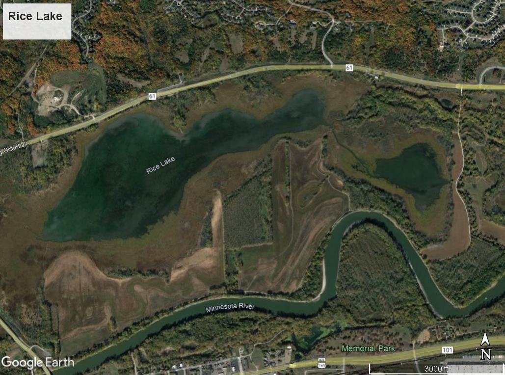
Rice Lake, near the city of Shakopee, Minnesota, is in the floodplain of the Minnesota River. Floodplain lakes, with their complex hydrology and ecosystems, are subject to periodic flooding which introduce water, sediment, and aquatic life.
Measures of water clarity were performed using remote-sensing (satellite imagery) technology and that information is summarized in the Minnesota LakeBrowser (UofMN, 2021). Measurements suggest that clarity in 2020 ranged from less than 0.5 meters (1.6 feet) in May to more than a meter (3.3 feet) in August (UofMN, 2021).
Floodplain lakes water quality monitoring activities has been either eliminated or reduced because of the regular intrusion of water from the Minnesota River. Sediment or paleolimnological assessments have been periodically completed to understand the quantity and quality of sediment deposition in some of the floodplain lakes from the Minnesota River. Information about the depth or fisheries of Rice Lake was not found.
References
UofMN. (2021, Sept 13). Minnesota LakeBrowser. Retrieved from Minnesota LakeBrowser: https://lakes.rs.umn.edu/#
This data was last updated November 2021.