The Lower Minnesota River Watershed District (LMRWD) is a local, special-purpose unit of government that works to solve and prevent water-related issues. The LMRWD strives to protect, improve, and educate about our valuable water resources that are important habitats for our native plant and fish species as well as provide recreational opportunities and commercial barge navigation.
The LMRWD was established for, and is tasked with, maintaining a 9-foot navigation channel in the Minnesota River for goods and services to be transported far and wide.
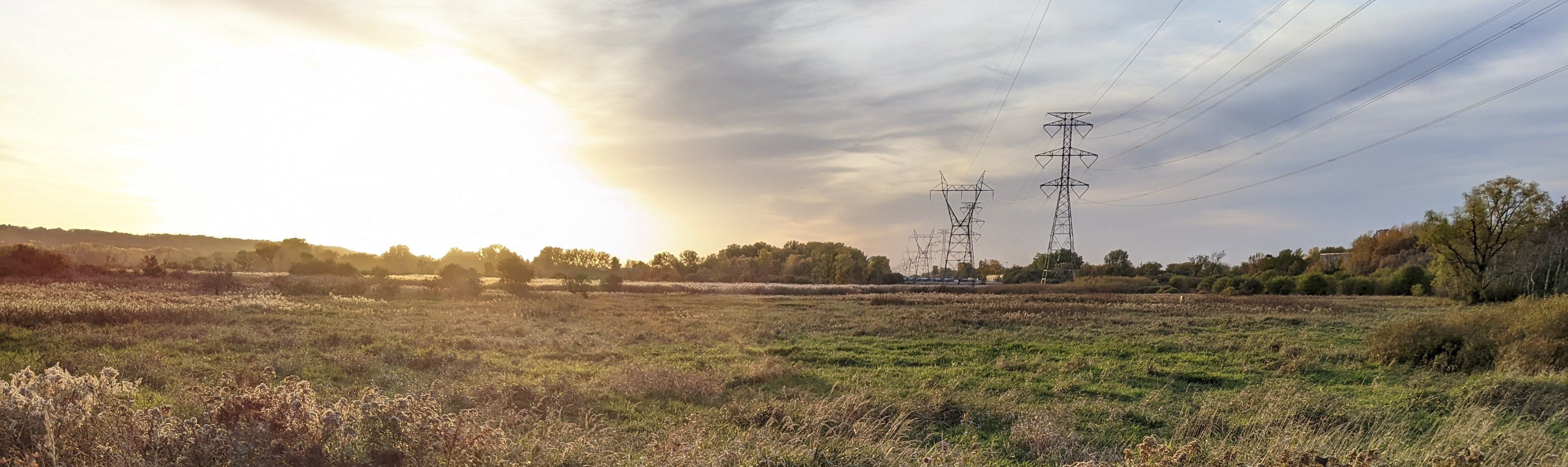
The Lower Minnesota River Watershed District is approximately 80 sq. miles and includes portions of Carver, Dakota, Hennepin, Ramsey and Scott Counties. It begins at the confluence of the Minnesota and Mississippi River and continues 32 miles upstream to the city of Carver, including the bluffs on either side.
The LMRWD implements rules to oversee soil erosion control, floodplain and drainage alteration, stormwater management, and development on steep slopes within its boundary. These rules help protect public health and welfare, as well as natural resource preservation.
The LMRWD also participates in capital improvement and cost-share projects to improve our water and natural resources.
What is a watershed?
A watershed is an area of land that drains rain and snowmelt, that don’t soak into the ground, to a particular lake, river, or other waterbody. Watersheds can be small, draining to a local pond or creek, or large, draining to a major river or ocean.
Everyone lives in a watershed.
Learn
The LMRWD created the items below for residents on ways to protect, conserve, enhance, and restore our water and natural resources.
- LMRWD Watershed 101
- 60-Year Anniversary Video
- Rain Barrels
- Rain and Native Gardens
- Steep Slopes Vegetation Management
Additional Resources
Participate
Citizen Advisory Committee (CAC)
- Looking for ways to make a difference? The CAC is an advisory group that works on engaging residents in actions that protect, improve, and restore our water and natural resources. Find out more on our Citizen Advisory Committee page.
Cost-Share Program
- Do you have a potential project in mind that could help protect and improve water within the LMRWD? Visit our cost-share page to find out if your project may be eligible for funding and to apply.