Lower Minnesota River Floodplain Model Feasibility Study
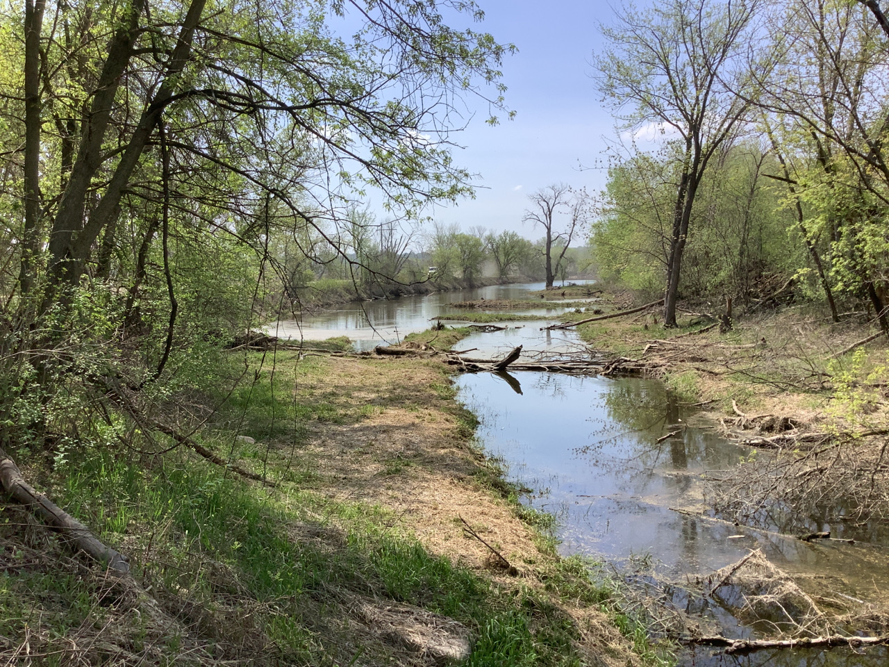
Estimated Timeline: 2021-Present Estimated Cost: $30,000A Minnesota River floodplain model was developed by the US Army Corps of Engineers (USACE), the Minnesota Department of Natural Resources (DNR), and the Lower Minnesota River Watershed District (LMRWD) more than 20 years ago. Since the model was developed two decades ago, significant development has occurred in the area, raising concerns that flood elevations have increased. Development within the floodplain may encroach on the floodplain and increase flood elevations, leading to greater flooding and potential impacts to commercial and residential infrastructure. The LMRWD Rule C – Floodplain and Drainage Alterations prevents floodplain encroachment from development activities that may adversely affect flood elevations on the Minnesota River by requiring a no-rise certificate that ensures the development will not raise flood elevations. However, one question remained – what is the cumulative effect of numerous no-rise developments over 20 years?
In 2022, the LMRWD conducted a study to determine the effectiveness of Rule C, determine the cumulative effect of multiple no-rise certified developments, and review available development information and identify gaps. Study results show a 0.28 feet increase in Minnesota River flood elevations, indicating that no-rise certificates can affect flood elevations. A review of available development information revealed major gaps in floodplain permit documentation due to regulatory overlap and a lack of data sharing.
The feasibility study provided several comments and recommendations based on modeling results. First, the LRMWD Rule C, while more stringent than Minnesota DNR requirements, does provide protection against flood elevation increases caused by floodplain development. The study then recommended the development of a LMRWD-specific model and the update of the USACE model. Additionally, due to gaps in floodplain permit documentation, an accounting and data sharing system for floodplain development should be created. A second study that continues to work through 2021 recommendations is currently underway. The results will help the LMRWD understand the true impact of flooding and ensure people and businesses do not build in areas prone to flooding.
Project Resources
Project Contact
For more information about this project, contact:
Linda Loomis
naiadconsulting@gmail.com
763-545-4659
Project Partners
US Army Corps of Engineers
Minnesota Department of Natural Resources
LMRWD Municipalities